 Easy
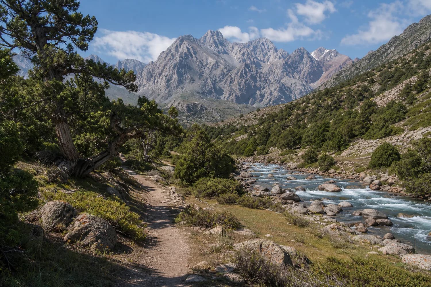
EasyKara-Koi Summer Pasture
- Distance
- 6 km
- Duration
- 3 hours
- Season
- May – October
An easy trail through juniper forest, with clean air, open valleys and the sound of a mountain river.
View routeHIKING ROUTES
Explore Kyrgyz-Ata through routes of different difficulty. Forest walks, mountain hikes and wild scenery await.
EasyAn easy trail through juniper forest, with clean air, open valleys and the sound of a mountain river.
View route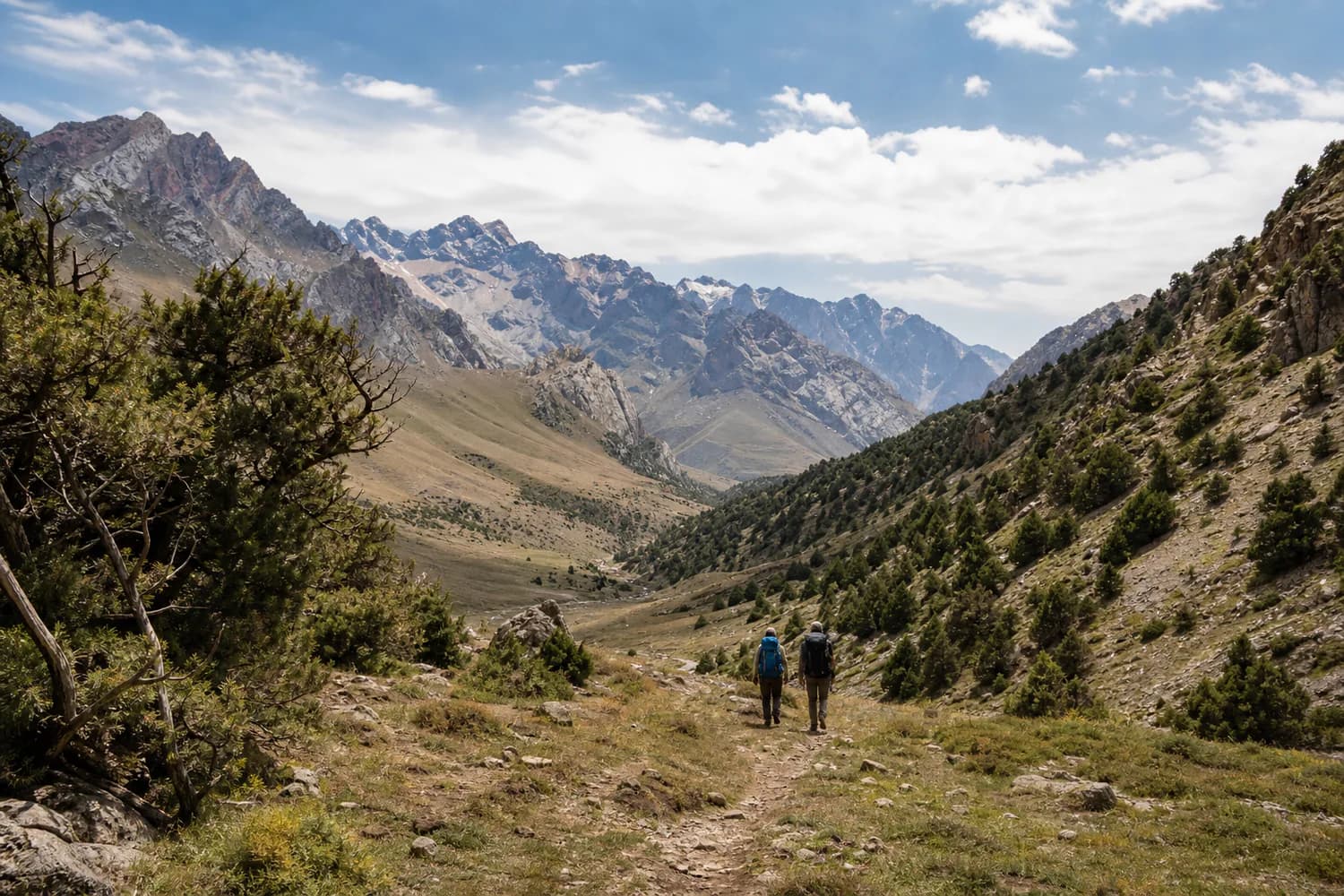 Moderate
A climb along the Kichi-Alai ridges, with waterfalls, mountain panoramas and abundant wildlife.
View route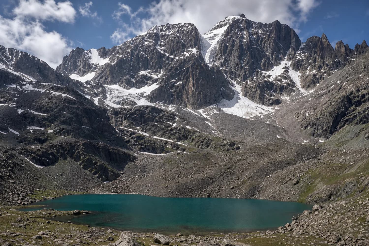 Hard
HardA demanding route for experienced hikers, rewarded by a sweeping panorama of the park from Ak-Tash.
View routeInteractive map
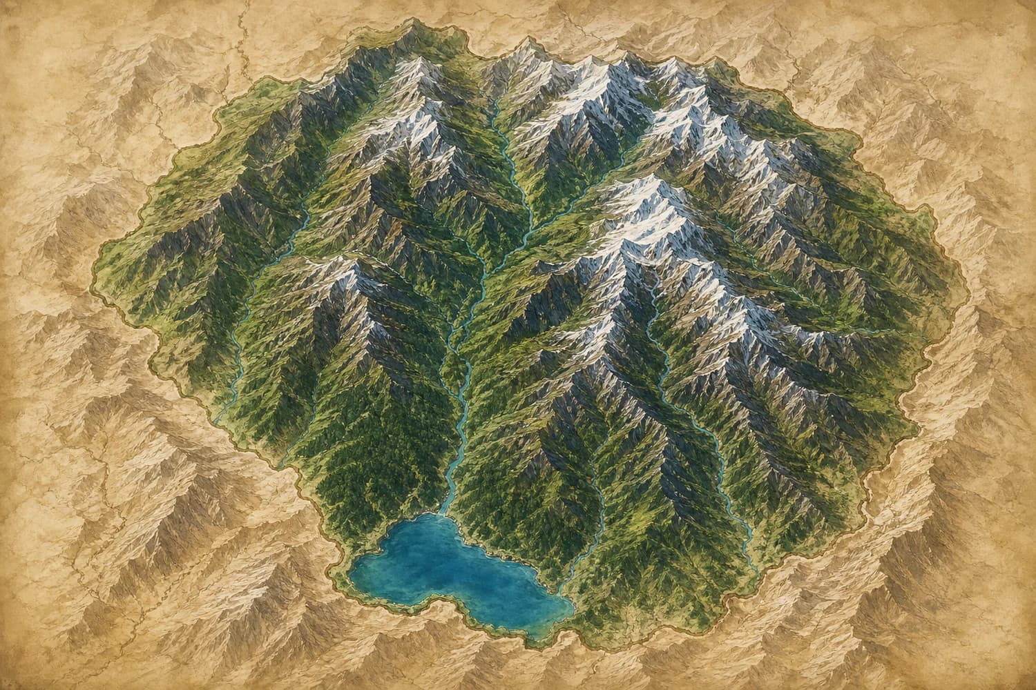
Explore the park boundary, hiking routes, entrances, picnic areas, viewpoints and principal waterways on one illustrated map.